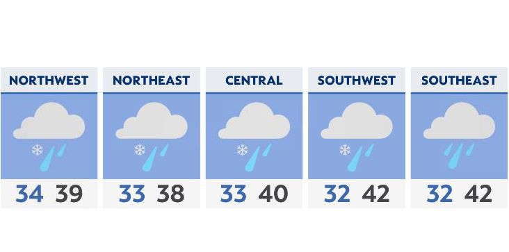
Snow chances tonight will be mostly limited to the primary snowbelt, mixing in with a cold rain.
As temperatures fall overnight and more moisture heads in, it’s possible to see at least a few flurries across Ohoi starting very early Sunday morning. The best window for snow will be from about 4 a.m. through midday, with a changeover to cold rain especially for southern Ohio.
Most of our accumulations won’t be more than a dusting on some elevated surfaces, but a few spots in the snowbelt could pick up 2 to as much as 4+ inches.
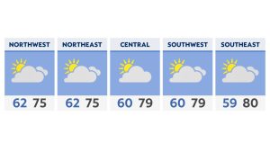
We’ll stay cold Monday before warmer air arrives Tuesday.

Enable severe weather alerts | Send us your weather photos