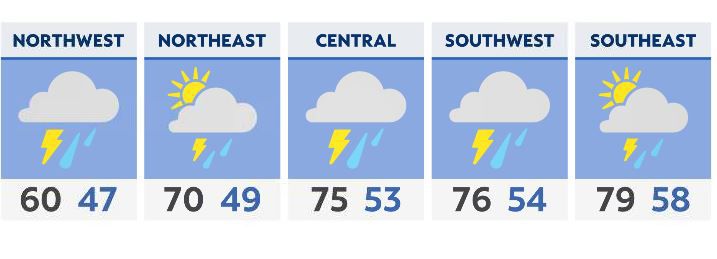
As round one exits with widespread rain and storms, it won’t be long before another wave pushes into the state with an elevated risk of severe storms.
There’s a lull expected and a few ‘drier’ hours until mid afternoon. Storms begin to fire up in Indiana and sweep toward western Ohio first.
Storms then move quickly east in central Ohio mid afternoon, and closer to the evening rush hour commute for eastern Ohio.
This will be the leading edge of storms with additional showers and storms behind it and possible until late this evening.
We have more detailed information on the severe threat here.