More clouds than sun met us Sunday morning, as an approaching cold front moves across Ohio. By late this afternoon and evening, showers and storms will develop.
A few of these storms may be strong to severe, with gusty winds being the main threat. Tornado threat is low, but not zero.
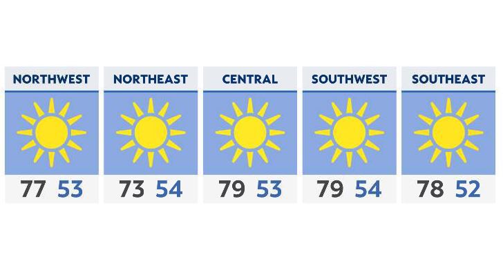
As the cold front passes, expect a quick clearing out overnight, with sunshine and comfortable temperatures returning for Monday. In fact, many areas won’t get out of the 70s Monday afternoon.