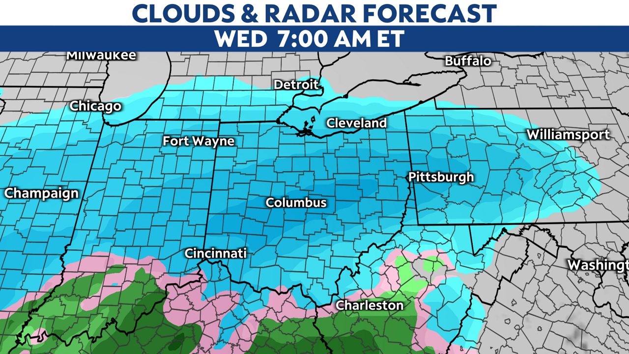
Another accumulating snow event is on the way for Wednesday.
This storm will move in from the southwest before daybreak on Wednesday.
-6)
Very heavy snowfall is possible, mainly for the western third of the state.
Parts of northwest and west-central Ohio could get up to 8 inches of snow between Wednesday morning and Thursday morning.
-1)
This is a large system coming in with some milder air. Some freezing rain or sleet is possible early Wednesday before changing to snow.
A rain/snow line will lift south to northeast through the morning and early afternoon, but areas northwest of I-71 will stick with snow, so amounts will be higher there.
-2)
Winds will also be breezy, so blowing and drifting snow will add to our travel woes.
Besides snowfall, there could be some light icing from sleet.

Scattered snow showers will continue Wednesday night and Thursday wrapping around this system, so we can expect travel impacts to continue through at least early Thursday.
Our team of meteorologists dives deep into the science of weather and breaks down timely weather data and information. To view more weather and climate stories, check out our weather blogs section.