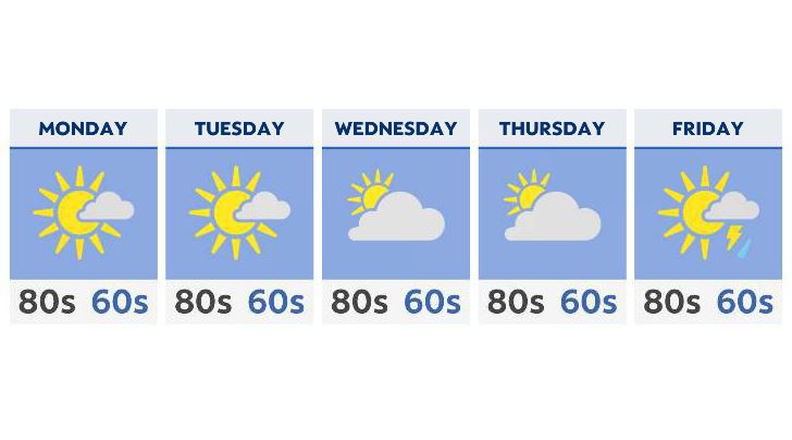
The heavy rains are gone with sunshine and dry conditions expected as we head into the new week.
With the cold front driving all the weekend rain to the south, high pressure settles in to start the week, with plenty of sunshine and seasonable temperatures.
By Tuesday, a shortwave, or little piece of energy, drops across the Great Lakes, which could potentially give a stray shower to the shore areas. Even those should be light, isolated and brief.
By the end of the week, high pressure out west drops south, allowing approaching moisture along a front to make it into Ohio. While storms are possible especially by Friday, we are going to be limited in severe weather development, with a lack of energy and lift (unlike what we saw late last week).
Temperatures will be warm, but not stray too far away from where they should be this time of year: mid to upper 80s all the way through Friday.