We’re starting this morning off on a warm and humid note, and temperatures will climb into the mid to upper 80s this afternoon.
Most of us will stay dry today, and for the next several days, but an isolated shower or storm can’t be ruled out.
Our hottest day of the week looks to be Tuesday when much of the state will see highs of 90 degrees or more. We’ll start to turn a corner on Wednesday as a cold front pushes through.
Along with that front comes more widespread chances for showers and storms. Another push of cooler air moves in Friday, bringing highs back to near average.
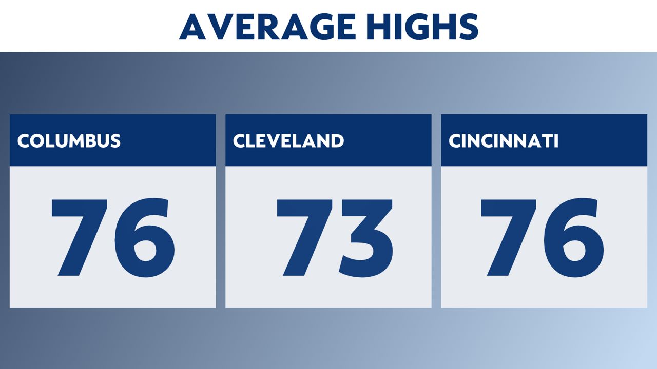
Closer to normal temperatures in the forecast
Toward the end of the week, temperatures will look much closer to the averages we see at this point in the year.