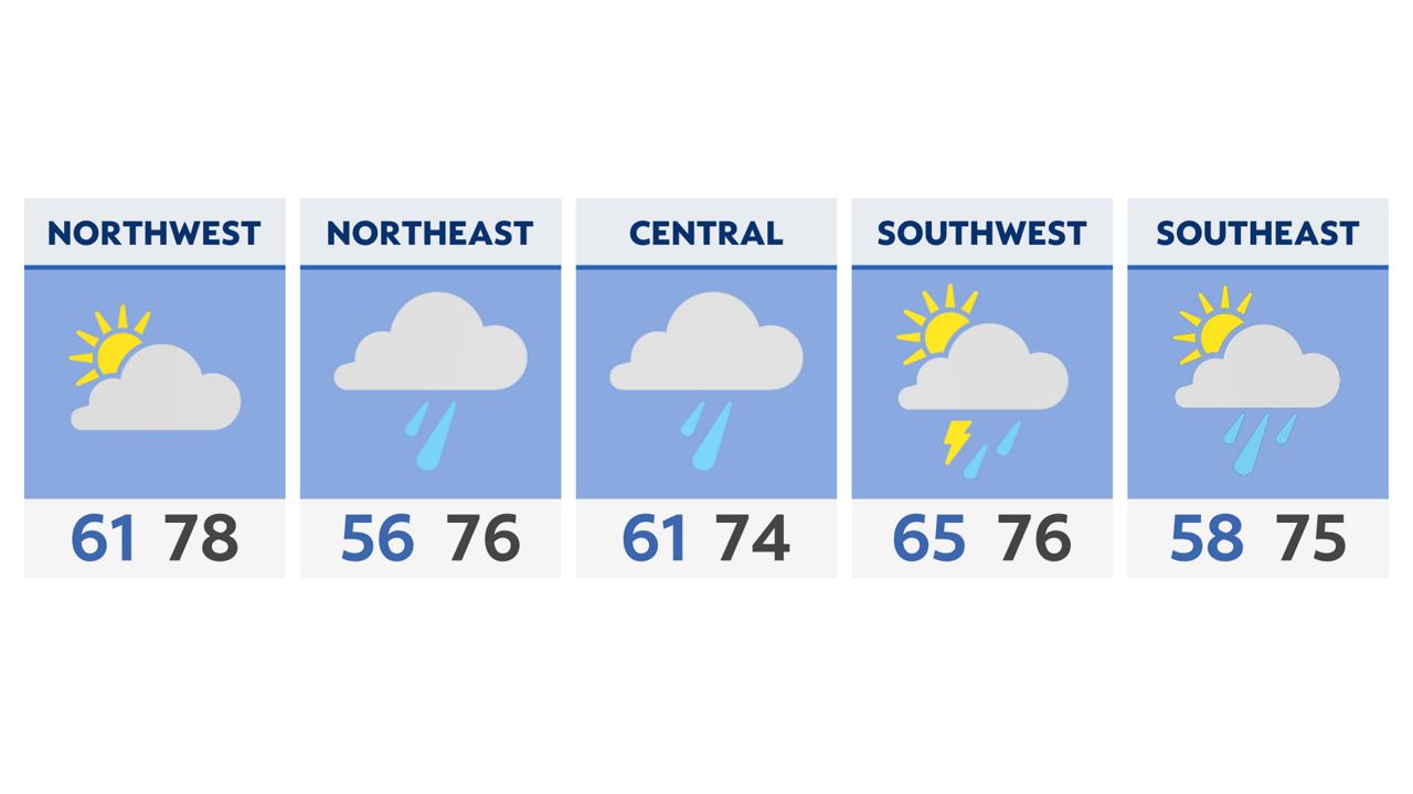
Slow clearing is in the forecast tonight along with some comfortable temperatures. Lows will be dropping into the 50s to low 60s through the dawn hours on Saturday. Some of you will need a light jacket as we start out the weekend!
Saturday brings dry skies for majority of the early daytime before things become more active by lunch and then again through the evening. Showers and storms develop around noon and will move east. Another round is expected closer to sunset and will move into parts of eastern Ohio. A storm or two may be on the strong side tomorrow producing some gusty winds.
By Sunday, a warm front will be lifting across the state which will allow for continued showers and storms during the morning, afternoon and evening. It looks as though some of these storms, especially across southern Ohio have the potential to become strong again during the last part of the day. Locally high rain totals between 1-2″ are possible in areas that see more thunderstorms through Monday morning.
The cold front will be approaching the state from the west on Monday which will keep more showers and thunderstorms around, especially during the afternoon and evening. Highs are expected to top out in the 80s with more tropical humidity levels, especially through central and southern Ohio.
A very summery pattern continues through the week with daily chances for storms and highs in the 80s.