Sunday’s rain and relatively mild temperatures to start will be replaced by drier and much colder air come Monday and Tuesday of this week.
After a powerful cold front moves through, expect temperatures to drop drastically by Monday morning as arctic air flows into the area. Lows will be in the teens with wind chills easily close to zero.
While we won’t see completely clear skies Monday, the clouds will start to move out and east by late Monday evening, giving us even colder temperatures on Tuesday morning, under mostly clear skies and light winds.
The exception to this? Far northeastern Ohio across the snowbelt, where lake-effect snow may add up to more than 5″ across portions of the area.
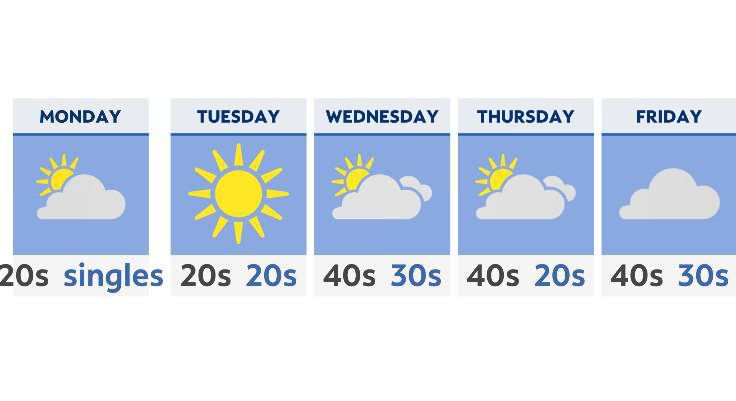
Many areas across the state will start Tuesday morning off in the single digits. Even a slight breeze will keep wind chills in the minus 5 to 5-degree range.
Temperatures moderate by the middle of the week, with highs back above where they should be Wednesday, Thursday and Friday. Expect the middle 40s for high temperatures under partly to mostly cloudy skies.
Our next chance of rain arrives late Friday into the beginning of next weekend. At this point, temperatures look too warm for it to be anything but rain, but stay tuned!